
A new study led by researchers at Australia’s University of Queensland (UQ) has found that the planet has more coral reef area than previously believed.
Scientists have identified 134,364 square miles of shallow coral reefs at depths of up to 65.6 to 98.4 feet deep, according to Dr. Mitchell Lyons of the School of the Environment at UQ and the Allen Coral Atlas project, a press release from UQ said.
“This revises up our previous estimate of shallow reefs in the world’s oceans,” Lyons said in the press release. “Importantly, the high-resolution, up-to-date mapping satellite technology also allows us to see what these habitats are made from. We’ve found 80,000 square kilometres of reef have a hard bottom, where coral tends to grow, as opposed to soft bottom like sand, rubble or seagrass.”

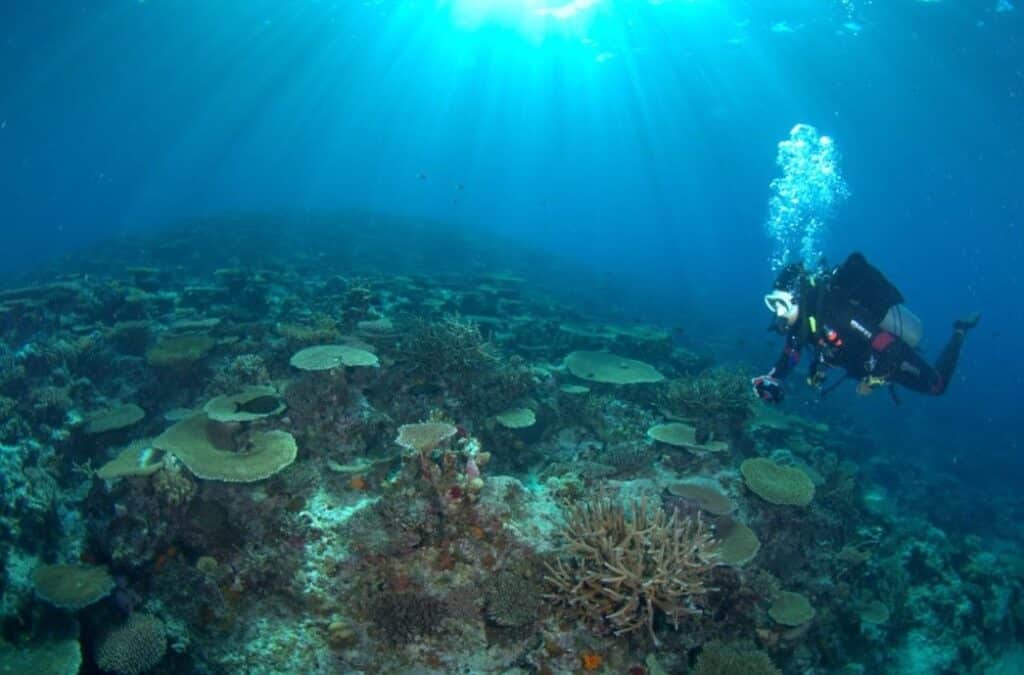
A diver on a shallow coral reef off Fiji. Chris Roelfsema
The research paper, “New global area estimates for coral reefs from high-resolution mapping,” was published in the journal Cell Reports Sustainability.
“Coral reefs possess a quarter of all marine life and contribute to the well-being and livelihoods of a billion people worldwide. Maps of ecosystems underpin many science and conservation activities, but until recently, there were no consistent high-resolution maps of the world’s coral reefs,” the authors of the paper wrote. “In this paper, we describe new global coral reef maps from the Allen Coral Atlas, detailing the underlying methodology and our new understanding of the global distribution of coral reefs.”
Detailed satellite mapping is helping with vital ecosystem conservation.
“This data will allow scientists, conservationists, and policymakers to better understand and manage reef systems,” Lyons added.
The Planet Dove CubeSat and Sentinel-2 satellites captured more than one-and-a-half million samples of fine scale detail and 100 trillion pixels on a high-resolution map of the globe.
“This is the first accurate depiction of the distribution and composition of the world’s coral reefs, with clear and consistent terminology,” Lyons said. “It’s more than just a map – it’s a tool for positive change for reefs and coastal and marine environments at large.”
Chris Roelfsema, an associate professor with UQ’s School of the Environment, said the mapping project — which had more than 480 contributors — is currently being used in global coral reef conservation.
“The maps and associated data are publicly accessible through the Allen Coral Atlas and Google Earth Engine, reaching a global audience,” Roelfsema said. “They’re being used to inform projects in Australia, Indonesia, the Timor and Arafura Seas, Fiji, Solomon Islands, Tonga, Vanuatu, Panama, Belize, Bangladesh, India, Maldives, Sri Lanka, Kenya and western Micronesia. The details provided by these maps empowers scientists, policymakers and local communities to make informed decisions for the preservation of our coral reefs.”
The post Satellites Reveal More Coral Reef Area in the World Than Previously Believed appeared first on EcoWatch.