
Greenland is the largest island in the world at approximately 836,330 square miles and has roughly 57,000 permanent residents. Warming in the region has been double the average global rate since the 1970s, according to a press release from the University of Leeds.
Greenland’s ice sheet covers most of its land mass with enough ice to raise the world’s sea levels by nearly 23 feet if all of it melted. Currently, the ice sheet loses roughly 300 billion tons of ice annually, a 2023 study said.
A research team from the University of Leeds tracked changes across Greenland beginning in 1980 and continuing through the 2010s. They found that warmer air was causing ice to melt and retreat, impacting land surface temperatures, landscape stability and greenhouse gas emissions.
“The loss of ice mass in Greenland is a substantial contributor to global sea level rise, a trend that poses significant challenges both now and in the future,” said Michael Grimes, lead author of the study and a Ph.D. researcher with the University of Leeds School of Geography, in the press release.
An analysis of satellite records by the researchers revealed that, over the past three decades, approximately 11,000 square miles of Greenland’s glaciers and ice sheet have melted.
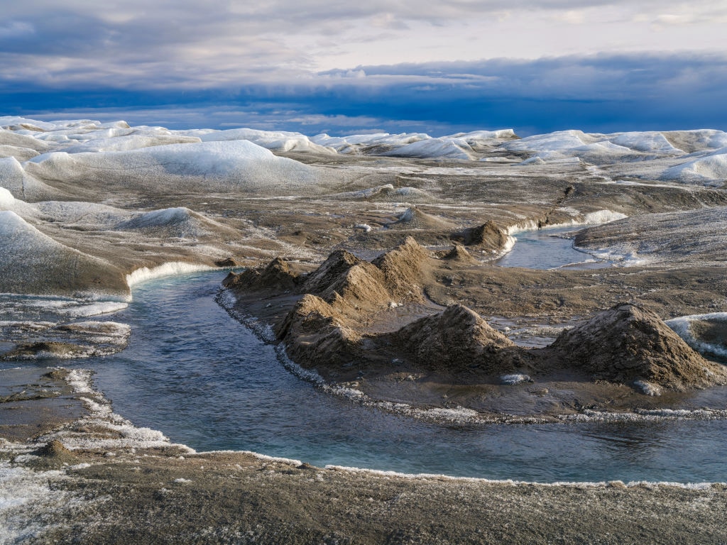
The total amount of ice loss represents roughly 1.6 percent of the total glacier and ice cover of Greenland — an area equal to that of Albania. The snow and ice that once dominated the landscape have been replaced with wetlands, shrubs and barren rock.
The researchers warned of the likelihood of more extreme temperatures in the future.
“Warmer temperatures are linked to the land cover changes that we are seeing on Greenland,” said Jonathan Carrivick, one of the study’s authors and an Earth scientist on the University of Leeds environment faculty, in the press release. “By analysing high resolution satellite images, we have been able to produce a detailed record of the land cover changes that are taking place.”
The study, “Land cover changes across Greenland dominated by a doubling of vegetation in three decades,” was published in the journal Scientific Reports.
In some areas, warming is leading to degradation of permafrost — a permanent frozen layer beneath Earth’s surface — which the researchers warn could impact buildings, infrastructure and communities.
“Expansion of vegetation and especially in wetland areas indicates but also exacerbates permafrost thaw, active layer thickening and thus emissions of greenhouse gases previously stored in these Arctic soils,” the researchers wrote in the study.
Ice loss has been concentrated around glacier edges, as well as in the southwest and north of Greenland. High ice loss levels were also detected in localized parts of the mid-northwest, west and southeast.
Across the three decades of the study period, there was a 33,774 square-mile increase in land with growing plant life — double what was present at the start of the study period.
“We have seen signs that the loss of ice is triggering other reactions which will result in further loss of ice and further ‘greening’ of Greenland, where shrinking ice exposes bare rock that is then colonised by tundra and eventually shrub,” Carrivick said. “At the same time, water released from the melting ice is moving sediment and silt, and that eventually forms wetlands and fenlands.”

Land surface temperatures are influenced by ice loss due to albedo — a measurement of the reflectivity of a surface.
Snow and ice reflect the sun’s energy as it hits Earth’s surface, which keeps the planet cooler. When ice cover retreats, the exposed bedrock absorbs more of the solar energy, increasing land surface temperature.
Ice melt also increases lake volume, and this water absorbs a greater amount of solar energy than snow, causing further heating.
“Land cover responses to climate change must be quantified for understanding Arctic climate, managing Arctic water resources, maintaining the health and livelihoods of Arctic societies and for sustainable economic development,” the researchers wrote.
The study’s analysis revealed a nearly fourfold increase in the number of wetlands — a methane emissions source — across Greenland, especially in the northeast and east.
The research team developed a model in order to predict areas of Greenland that will likely experience “marked and accelerated” future changes.
“The expansion of vegetation, occurring in tandem with the retreat of glaciers and the ice sheet, is significantly altering the flow of sediments and nutrients into coastal waters. These changes are critical, particularly for the indigenous populations whose traditional subsistence hunting practices rely on the stability of these delicate ecosystems,” Grimes explained in the press release.
The post Greenland’s Melting Ice Sheet Is Being Replaced by Vegetation, Wetlands and Rock, Study Finds appeared first on EcoWatch.